Special Collections
Edwards Plateau
The Edwards Plateau area includes 1.45 million acres known as the Granitic Central Basin in Llano and Mason Counties. The Balcones Escarpment forms the distinct boundary of the Edwards Plateau on its eastern and southern borders and outlines what is known as the Texas Hill Country.The area is a deeply dissected, rapidly drained stony plain having broad, flat to undulating divides. Prior to modern settlement, vegetation was grassland or open savannah-type plains with tree or brushy species found along rocky slopes and stream bottoms.
Printer Friendly: Species List | List with Images | List with QR Tags to Mobile
| scientific name | common name(s) | image gallery |
| Ranunculus macranthus | Large Buttercup | |
| Rhus aromatica | Fragrant Sumac Aromatic Sumac Lemon Sumac Polecat Bush | |
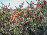
| Rhus glabra | Smooth Sumac | |
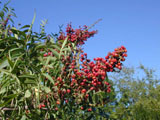
| Rhus lanceolata | Prairie Flameleaf Sumac Flameleaf Sumac Prairie Sumac Lance-leaf Sumac Lance-leaved Sumac Texas Sumac Tree Sumac Limestone Sumac Prairie Shining Sumac | |
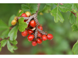
| Rhus microphylla | Littleleaf Sumac Desert Sumac Correosa Agritos | |
| Rhus virens | Evergreen Sumac Tobacco Sumac Lambrisco Lentrisco | |
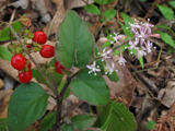
| Rivina humilis | Pigeonberry Rouge Plant Baby-peppers Bloodberry | |
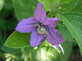
| Ruellia drummondiana | Drummond's Ruellia Drummond's Wild Petunia | |
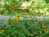
| Rudbeckia hirta | Black-eyed Susan Common Black-eyed Susan Brown-eyed Susan Blackeyed Susan | |
| Ruellia humilis | Prairie Petunia Fringeleaf Wild Petunia Hairy Ruellia Low Wild Petunia Low Ruellia Fringeleaf Ruellia Fringe-leaf Wild Petunia | |
| scientific name | common name(s) | image gallery |